PASSPORT LOCATIONS
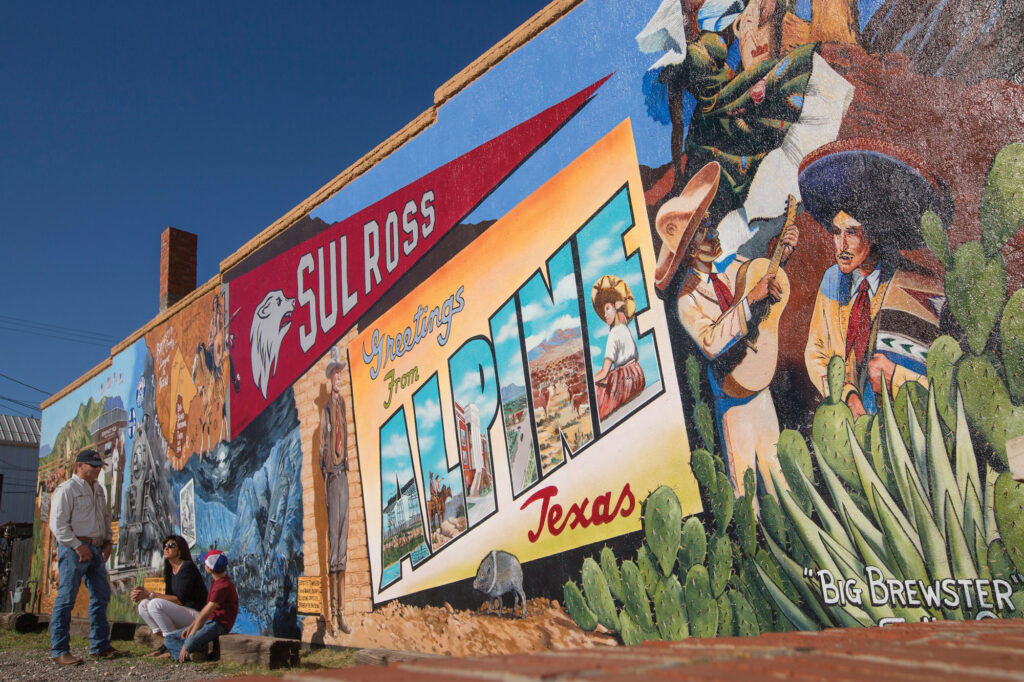
Stop here to get information about Alpine and the region, attractions, Alpine’s murals and pick up a copy of the Historic Walking Tour.
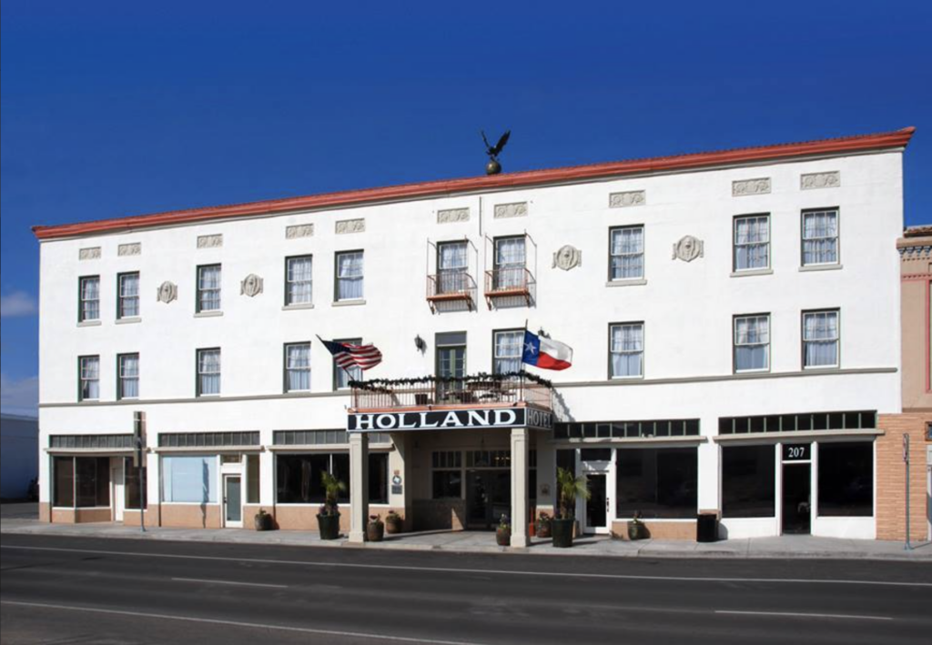
Welcoming visitors since 1928, this Trost & Trost masterpiece offers a unique piece of West Texas history, and serves as the epicenter of the Big Bend community for locals and travelers alike.
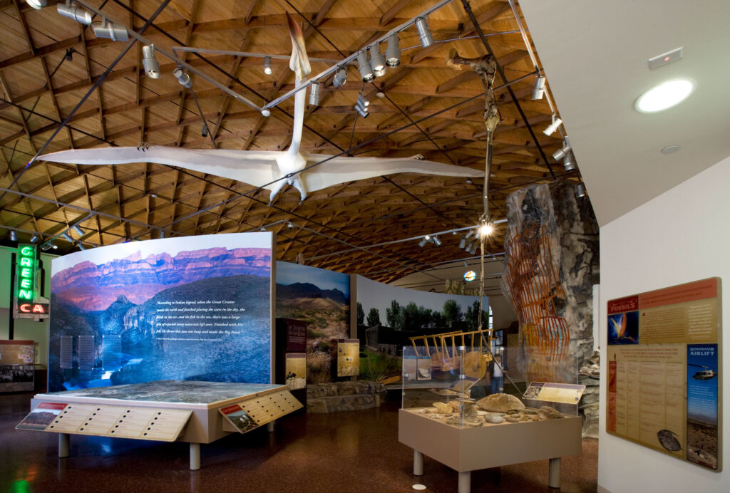
Museum of the Big Bend is a wonderful repository of information on the entire Big Bend region with exhibits highlighting the natural and cultural history of the area.
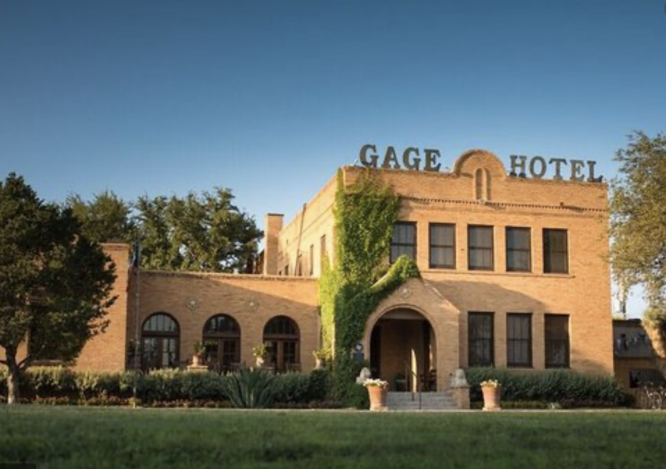
Built in 1927 by acclaimed architect, Henry Trost, the legendary Gage Hotel offers authentic laid-back luxury with premier accommodations.
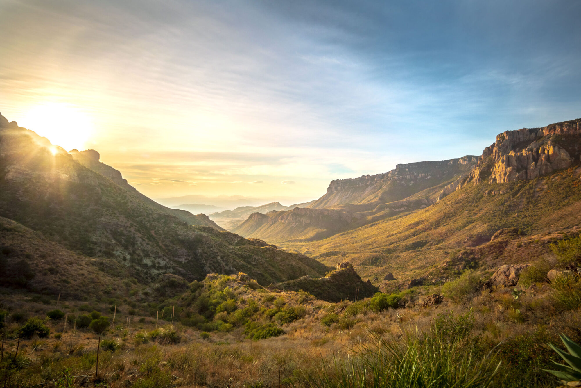
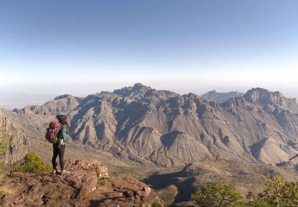
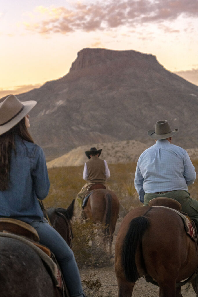
Big Bend was established as a national park in June of 1935, preserving the largest tracts of Chihuahuan Desert topography and ecology in the United States.
Visitors will be drawn to geological structures that date back millions of years, as well as 1,200 species of plants and 450 species of birds. Park activities include hiking, camping, river rafting, scenic drives and stargazing.
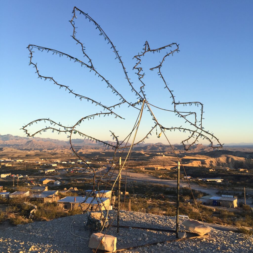
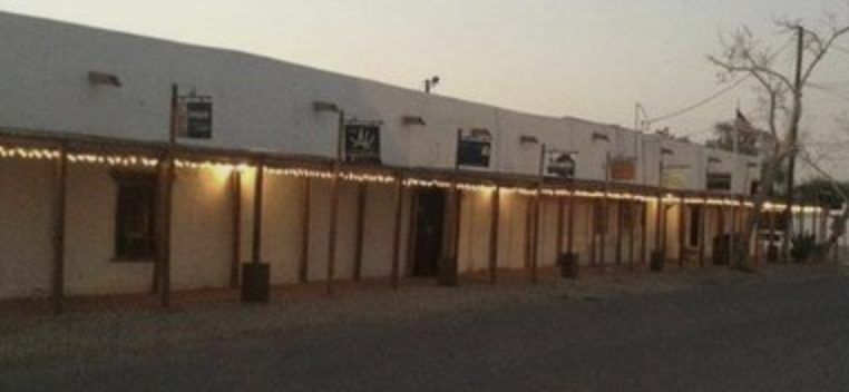
Terlingua/Study Butte
At the edge of Big Bend National Park, these historic communities offer lodging, dining, shopping and plenty of outdoor excursion opportunities.
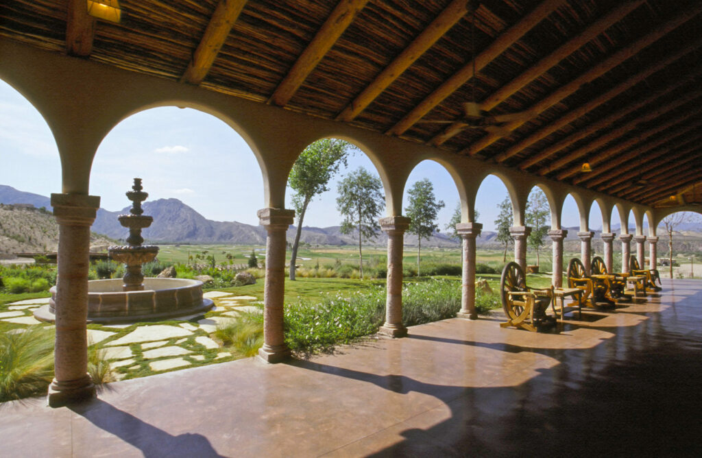
This 27,000 acre Texas resort is famous for its solitude, natural beauty and rugged desert environment. The destination is rich in Old West history.
This remote park features rugged mountains, steep canyons, amazing views, unparalleled night skies, and solitude in a high desert setting.
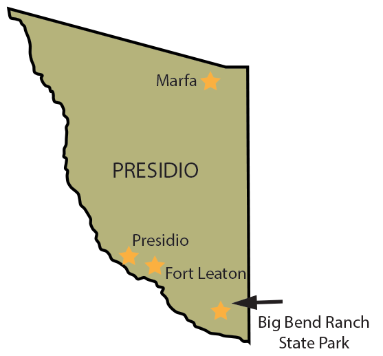
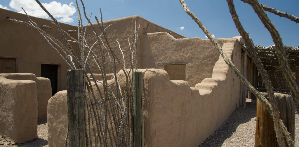
Fort Leaton State Historic Site
****Temporary closing until May 2022. Sorry for any inconvenience , you can still get your stamp at the portable office across the highway from the fort.
In 1848, Ben Leaton built the fortified adobe trading post Fort Leaton for border trade with the Apache and Comanche Indians
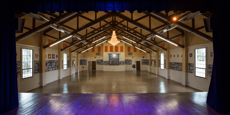
A 1940’s USO Hall that was the place for dances and celebrations for soldiers at Fort D.A. Russell, now the Marfa Visitors Center.
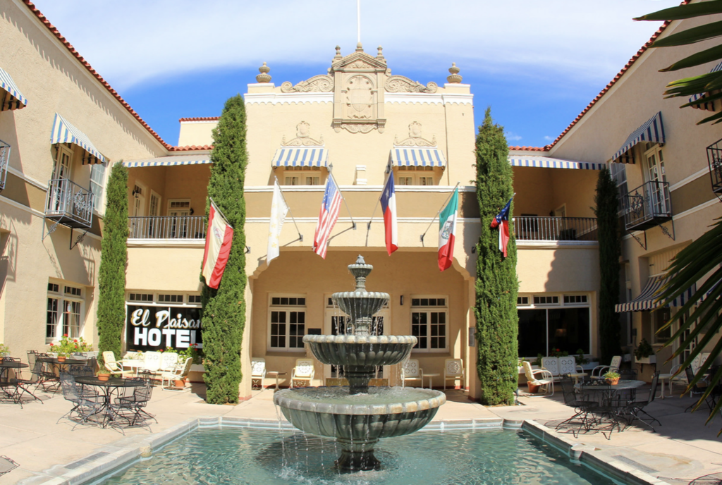
A charming, historic hotel offers 41 rooms and suites, a seasonally heated pool, extensive gift shop and art gallery. Served as the headquarters for the cast and crew of the film Giant for six weeks in the summer of 1955.
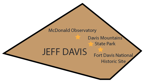
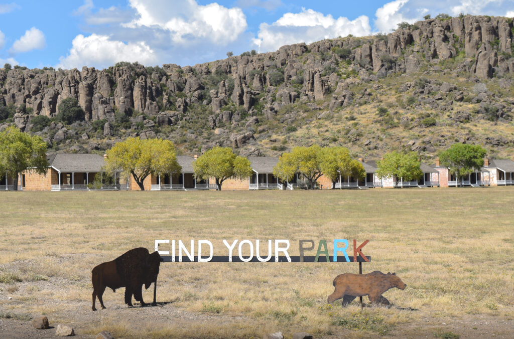
Fort Davis National Historic Site
Fort Davis is one of the best surviving examples of an Indian Wars’ frontier military post in the Southwest. From 1854 to 1891, Fort Davis was strategically located to protect emigrants, mail coaches, and freight wagons on the Trans-Pecos portion of the San Antonio-El Paso Road and on the Chihuahua Trail.
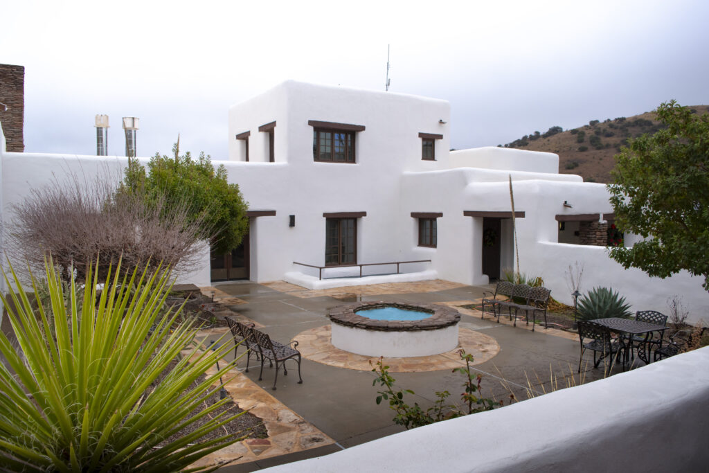
Davis Mountains State Park and Indian Lodge
Hike, backpack, mountain bike or ride your horse. Go camping, stargaze, geocache and study nature.
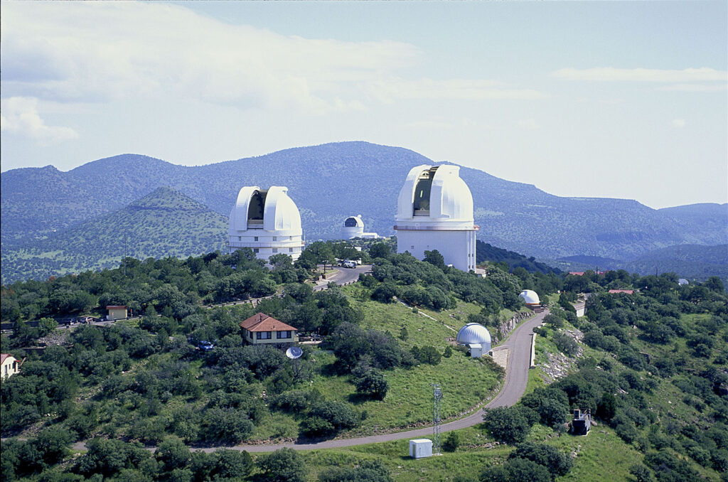
A research unit of UT at Austin, located in the Davis Mountains, the observatory offers day tours, educational programs and star parties.
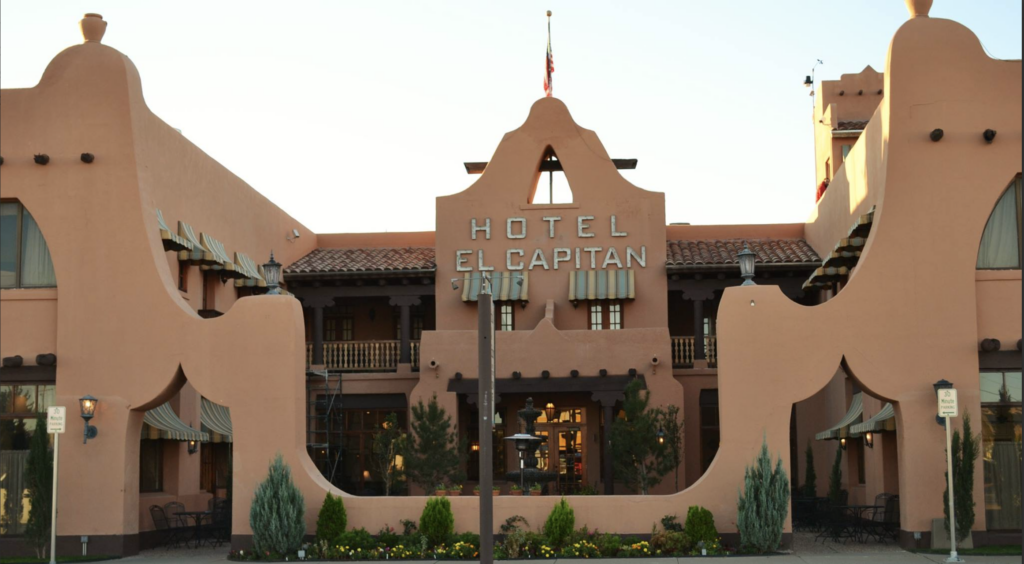
Built in 1930 at the crossroads of the forthcoming Carlsbad Caverns, Guadalupe and Big Bend National Parks.
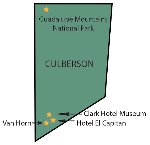
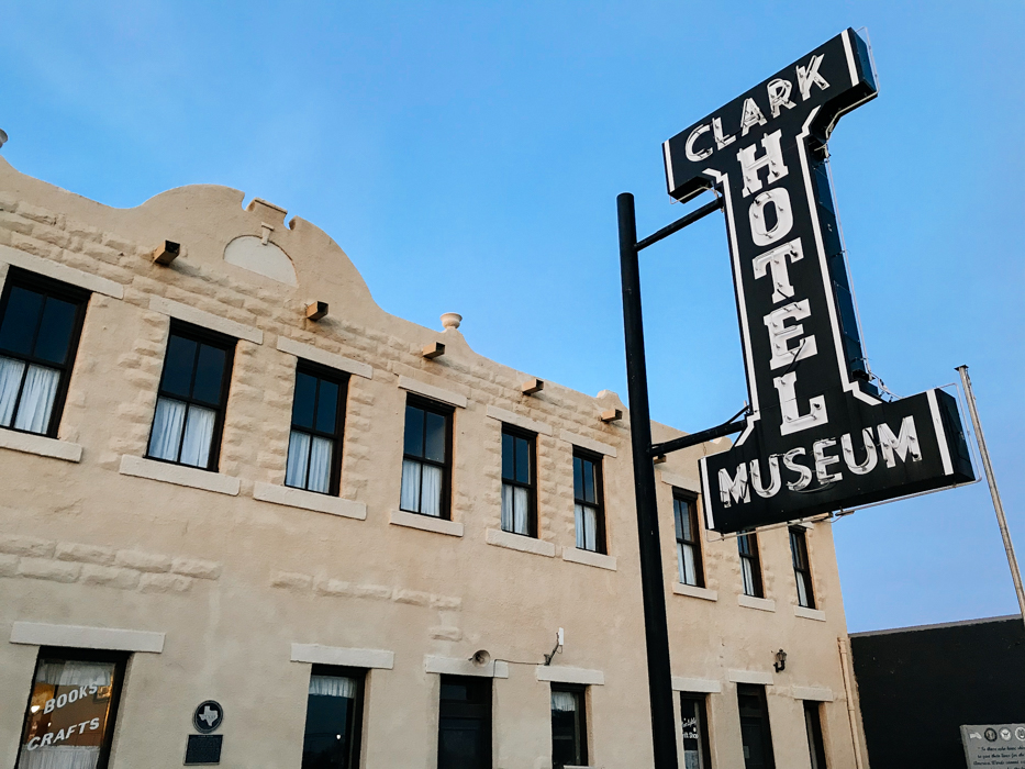
The Clark Hotel Museum is home to exhibits reflecting the early history of Van Horn.
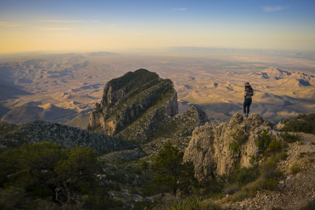
Guadalupe Mountains National Park
The Guadalupe Mountains National Park protects the world’s most extensive Permian fossil reef, the four highest peaks in Texas, an environmentally diverse collection of flora and fauna, and the stories of lives shaped through conflict, cooperation and survival. Come experience mountains and canyons, desert and dunes, night skies and spectacular vistas within a place unlike any other within the NPS.
Magoffin Home State Historic Site
Stories of a family who participated in U.S. settlement, military service, trade on the Chihuahua Trail, Civil War turmoil and U.S.–Mexico relations.
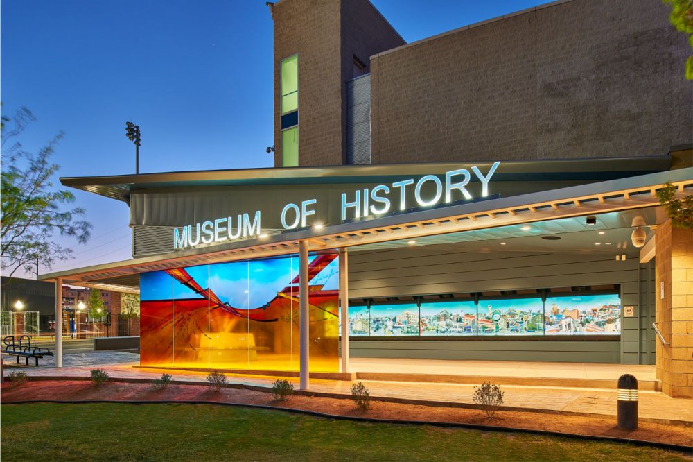
Presenting information about past 400 years of history in the United States/Mexico border region. Don’t miss the Digie Wall!
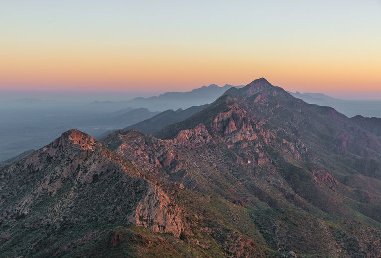
The largest urban park in the country, the Franklin Mountains provided most of the basic necessities of life for early people here.
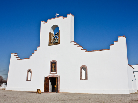
The hub of the historic district. Get stamped here for the Mission Trail.
Designated a National Historic Trail in 2000, the El Camino Real de Tierra Adentro provides a robust chronology of early North American history.
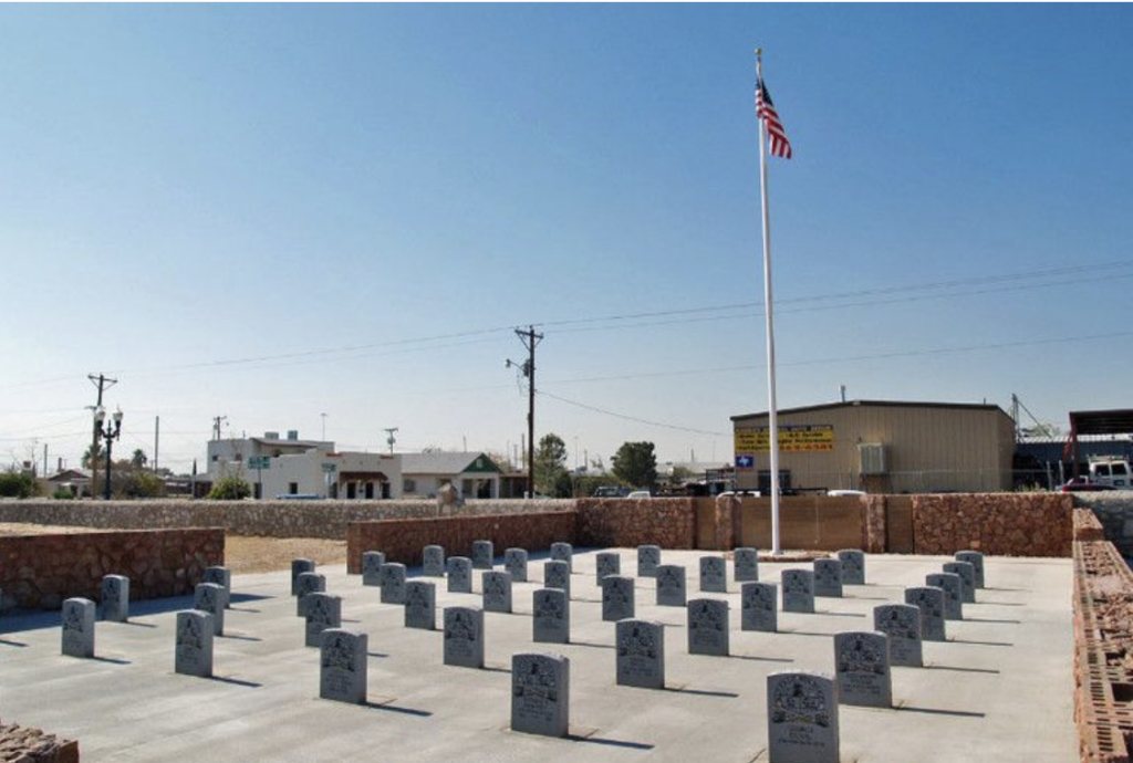
Concordia State Historic Cemetery
Contains the resting place of the West’s deadliest shooter, John Wesley Hardin, the Buffalo Soldier’s Memorial and the state’s only dedicated Chinese Cemetery.
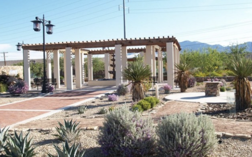
Keystone Heritage Park and Desert Botanical Gardens
52-acre park features botanical gardens, wetlands & the remains of an ancient village.
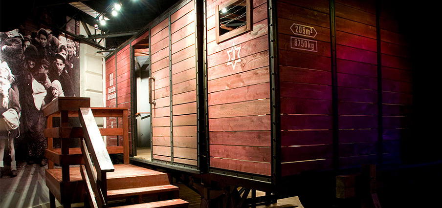
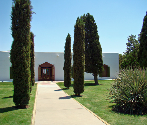
El Paso Holocaust Museum & Study Center
The El Paso Holocaust Museum & Study Center was established to educate the public about the Nazi Holocaust, and to honor those who perished and those who survived.